
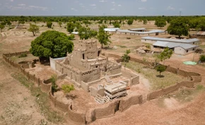
Akatekyi Crocodile Pond: A Place...
September 29, 2025
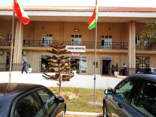
LeKMA is strategically bounded on the south by the Gulf of Guinea, to the east by Krowor Municipal Assembly, on the north by Adentan and Ayawaso West Municipal Assemblies, and to the west by La Dade-Kotopon Municipal Assembly. With a current population projection of 198,274 as of 2021, LeKMA faces several opportunities and challenges in its quest for development and improved service delivery.
The Municipal Central Administration serves as the implementing arm of the Ledzokuku Municipal Assembly. Headed by the Municipal Coordinating Director, this department comprises various units responsible for key functions such as land acquisition matters, addressing grievances within the municipality, handling election and citizenship issues, coordinating Assembly activities, ensuring law and order, organizing statutory and general assembly meetings, and more.
The District Planning Coordinating Unit (DPCU) plays a crucial role in assisting the Ledzokuku Municipal Assembly with its designated planning functions. Under the Local Governance Act, the DPCU, chaired by the District Coordinating Director, is responsible for initiating and preparing district development plans and settlement structure plans, conducting studies on development planning matters, mobilizing resources for development, coordinating planning, programming, budgeting, and implementation of development plans, among other important tasks.
The Ledzokuku Municipal Assembly is divided into sub-district structures, including the Zonal Council and Unit Committees. The Zonal Council, which operates under the Ledzokuku Zonal Council, assists Assembly members in revenue collection and community mobilization. Meanwhile, the 96 Unit Committees focus on community mobilization, decision-making participation, revenue mobilization, and educating residents on sanitation issues. However, these committees face challenges due to inadequate support for their activities.
The Ledzokuku Municipality experiences both natural and man-made disasters, including floods, tidal waves, fires, and epidemic diseases such as cholera and bird flu. Flooding is a recurring problem, caused primarily by dumping refuse into storm drains, building in waterways and flood-prone areas, and diverting watercourses. These disasters put immense stress on health facilities, lead to loss of property and lives, disrupt business activities, and strain the Assembly's finances for rehabilitation efforts.
The municipality's vegetation has significantly reduced due to rapid urbanization and limited enforcement of laws protecting terrestrial vegetation. The three main vegetation zones consist of shrub lands, grasslands, and coastal lands. The Ledzokuku Municipality lies in the Savannah zone with a double maxima rainy season pattern, characterized by quick and intensive storms. The area also experiences strong winds, and the temperature remains relatively stable throughout the year. Water supply varies, with some affluent residential areas receiving regular water supply, while lower-income areas face irregular access.
As the Ledzokuku Municipal Assembly strives for development and improved service delivery, it must address challenges related to capacity strengthening, involvement of unit committee members, constraints faced by various departments and zonal councils, and citizen participation. Additionally, proactive measures should be taken to mitigate natural and man-made disasters, protect the environment, and ensure sustainable access to water resources. By addressing these issues, the municipality can pave the way for improved living conditions, stronger community relationships, and collective progress towards development.
September 29, 2025
September 29, 2025
September 26, 2025
September 18, 2025
September 18, 2025
September 4, 2025
September 3, 2025

August 28, 2025
August 19, 2025

August 8, 2025